
Luke Air Force Base and West Valley Homes: What the Noise Contours and the Military Airport Disclosure Actually Mean
Have you ever been standing in a West Valley backyard, mid conversation, when a jet goes over and you both just stop talking for a few seconds?
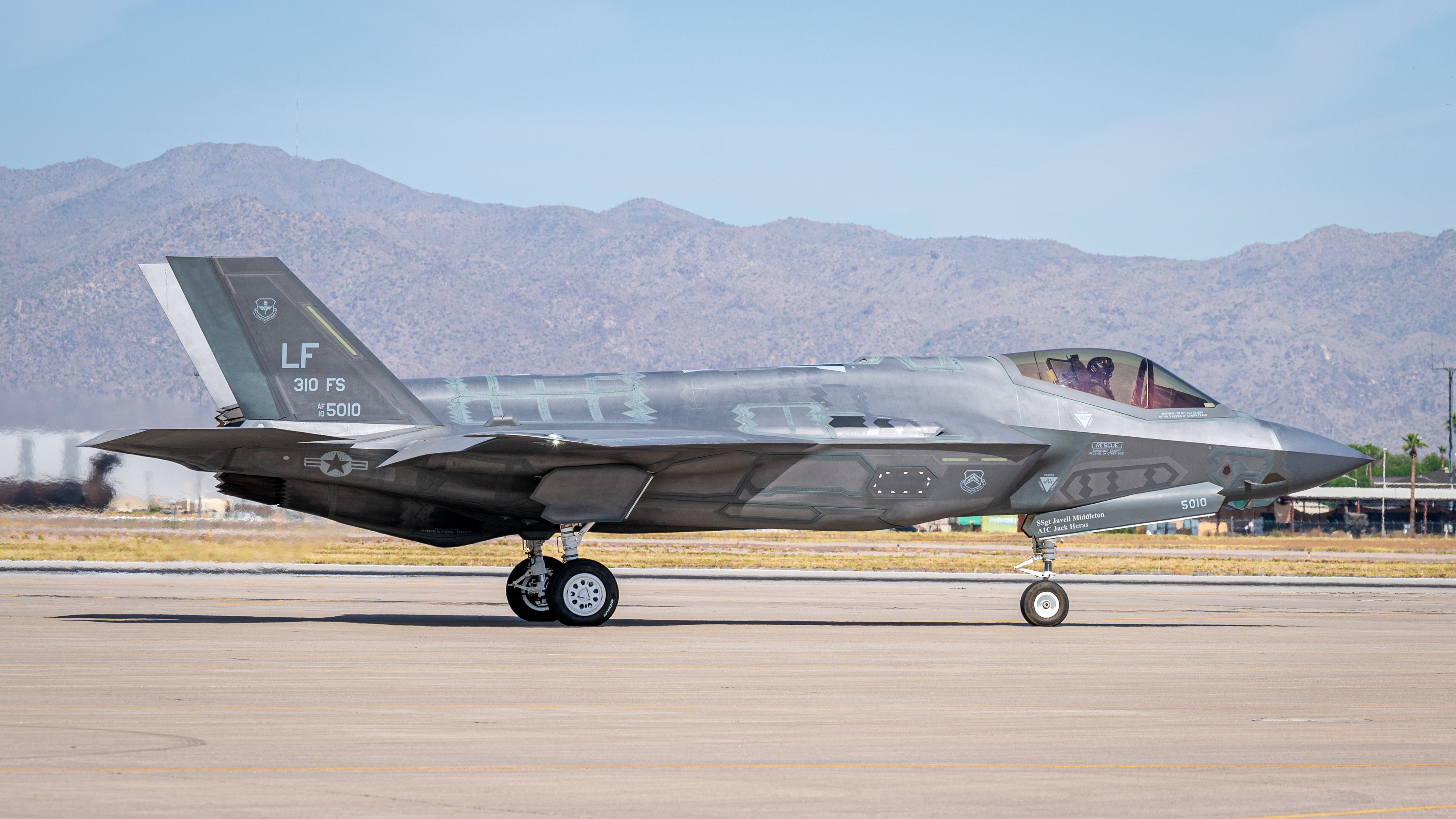
That is Luke Air Force Base. It sits west of Phoenix in Maricopa County, it is one of the busiest fighter pilot training bases in the country, and it has been out here far longer than most of the communities people are touring today. It is also the reason a large slice of the West Valley carries a state required disclosure that a lot of buyers never hear about until the paperwork shows up.
I want to be clear about my stance up front: this is not a reason to avoid the West Valley. It is a reason to know exactly what you are buying before you fall in love with a floor plan. Here is what the disclosure actually says, what the noise contours and Accident Potential Zones really are, and the questions I would want answered before writing an offer.
Quick gut check
Have you actually stood on the lot at a weekday hour when training flights run, not just on a quiet Sunday morning?
Do you know whether the address falls inside the disclosure territory, and if so, where inside it?
Have you asked the seller or builder for the military airport disclosure in writing rather than assuming it will show up on its own?
Have you looked at what the city has zoned for the empty land around the community, not just the community itself?
What the military airport disclosure actually is
Arizona law requires that residential property located in what the statute calls "territory in the vicinity of a military airport" comes with a disclosure to the buyer. The point is simple: before you commit, you should know whether the home sits inside a high noise contour or an accident potential zone tied to an active military airfield.
This is a disclosure, not a warning label and not a defect. It is the state making sure the information reaches you instead of leaving you to find it after move in. The Arizona Department of Real Estate publishes airport boundary maps so the territory can be checked against a specific address rather than guessed at from a general sense of "we are kind of close."
How far the territory reaches
For Luke specifically, the defined territory runs ten miles to the north, south and west, and four miles to the east, measured parallel from the center of the main runway.
Read that again, because it is bigger than people expect. Ten miles in three directions covers a serious amount of ground across Glendale, Litchfield Park, Waddell, El Mirage, Surprise, Goodyear and parts of the surrounding county land. Plenty of homes inside that territory are nowhere near loud. Being inside the boundary and being under the flight path are two different things, and that distinction is exactly what gets flattened in casual conversation.
Noise contours and Accident Potential Zones, in plain English
Two separate things get mapped around a base like this, and they are often mixed up.
Noise contours. These are lines drawn around measured aircraft noise exposure over an average day. The outermost line commonly referenced is the 65 decibel Day Night Average Sound Level. Inside that line, noise exposure is high enough that land use planners treat residential development differently. Outside it, you may still hear jets, you just are not inside the mapped contour.
Accident Potential Zones. These sit off both ends of the runway, along the corridors where aircraft take off and land. They are about statistical risk exposure, not noise, and they are the reason you see restrictions on how densely land near the runway ends can be built.
Both matter for different reasons. The noise contour affects how a home feels day to day. The Accident Potential Zone affects what can legally go on the land around you, which quietly shapes your neighborhood for decades.
Why this shapes what gets built near you
Here is the part I think buyers actually underestimate.
Cities in the West Valley have zoning overlays and land use rules built specifically around protecting the base from encroachment. That means certain parcels near Luke are steered away from housing and toward uses that tolerate noise better. Glendale, for example, has planned a stretch of the Loop 303 corridor toward industrial development, and jet noise is a stated reason: warehouse construction handles it far better than bedrooms do. Goodyear has worked through base encroachment questions with developers on its side of the map as well.
So when you are looking at a community with open desert on two sides, the honest question is not "will they build homes there." It might be "will they build a distribution center there." Neither answer is automatically bad. Industrial can mean jobs and can also mean truck traffic. You just want to know before, not after.
The tradeoffs, said plainly
What you get: land inside and near the disclosure territory has historically priced more accessibly than comparable homes farther from the flight corridors, and the base itself anchors a meaningful piece of the West Valley economy. Some homes carry noticeably better sound insulation because of when and how they were built.
What you give up: the noise is real and it is not occasional. Training operations run on a schedule that does not care about your video calls. Base activity levels also change over time as aircraft and training missions change, and the base has reported significant monthly flight operation volumes [PULL REAL NUMBER]. Resale can be a slower conversation, because the next buyer gets the same disclosure you did.
My honest opinion: if you have visited on a weekday, sat in the backyard, listened, and shrugged it off, buy the house and enjoy the value. If you told yourself "we will get used to it" without ever hearing it, slow down. That is the single most common regret I hear on this topic, and it is completely avoidable with one well timed visit.

What to actually do before you tour
Check the specific address against the published airport boundary maps. Not the community. The address.
Visit at a weekday mid morning or mid afternoon. Ask a neighbor how it compares to a typical week.
Request the military airport disclosure in writing, and read it rather than initialing past it.
Pull the city zoning map for the vacant parcels around the community and ask what those are designated for.
If the home is a resale, ask what the sellers did about windows and insulation, and whether anything was upgraded.
Ask your lender and your insurance agent whether anything about the location changes their side of the file. Get that answer early, not at closing.
The part that comes before the house
Every one of those steps assumes you are far enough along to be touring. If you are still in the "someday" stage, the more useful work right now is on your credit profile, because that is what determines which of these communities are actually on your list when the time comes.
That is the whole reason Keys Credit and Keys Real Estate Services sit under one roof. We work on the credit side first: reading the report properly, understanding what is on it, and building a realistic plan. Then, when you are ready, we go look at homes with a clear head instead of a rushed one. No score promises and no timelines, because nobody honest can promise those. Just education, a real plan, and the same team on both ends.
If you are trying to figure out whether a West Valley community fits you, or you want to get your credit sorted before you start touring, reach out and we will talk through where you actually stand.
This article is general education about West Valley real estate and Arizona disclosure requirements. It is not legal advice, lending advice, or a guarantee of any outcome. Disclosure boundaries, noise contours, and city zoning rules change over time, so verify current maps and requirements for any specific address with the appropriate city, the Arizona Department of Real Estate, and your own licensed professionals before making a decision.